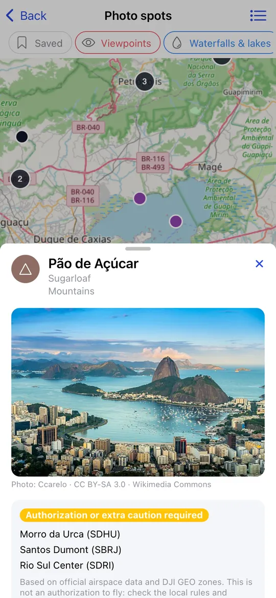
Looking for where to fly? Photo spots (Tools → Photo spots) is a map of places worth filming from the air:
- viewpoints, waterfalls and lakes, coast, mountains and nature;
- heritage sites, bridges and dams, city landmarks and countryside;
- abandoned places and flying fields for drones and model aircraft.
Everything you need about a spot
Open a spot to see a photo (from Wikimedia Commons, with its author and licence), the airspace status from the no-fly zone map, directions in your maps app and Forecast here, which opens the weather for that exact place. Save the spots you like to find them again.
About two million places worldwide
The map is built from OpenStreetMap and Wikidata. The 100,000 best-known spots are stored in the app and appear even offline; zoom in and the map loads every spot of the area.
Share your own spots
Signed-in pilots can suggest a spot with a photo; every suggestion is reviewed before it appears for everyone. A pilot can also mark a spot as secret: the map shows it a few hundred metres away from the real place, and only Pro users see the exact location.
More features
- Safe-to-fly verdict
- 7-day hourly forecast
- Wind speed, gusts and direction
- Wind profile by altitude
- KP index and geomagnetic storms
- Visible GNSS satellites
- No-fly zone map
- Limits for your drone model
- Multiple drones
- Hourly forecast table
- Wind compass
- Choice of weather source
- Favourite places
- Pre-flight checklists
- Pilot community
- Your units, your language