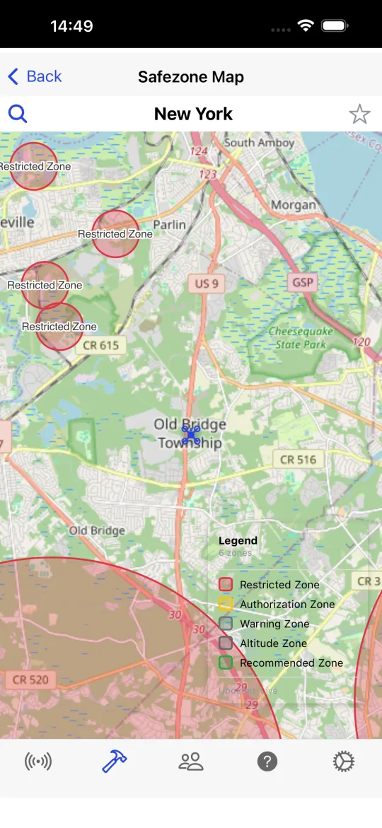
The map shows where you may fly, where you need an authorization and how high you may go at each place.
Official data first
Where an aviation authority publishes its drone zones under terms that allow it, the map uses them:
- United States: FAA UAS Facility Maps (the altitude LAANC can authorize near each airport), national security flight restrictions, special use airspace and the Washington DC restrictions;
- Brazil: the flight restriction zones of DECEA's ICA 100-40 around every aerodrome and helipad, plus prohibited, restricted and danger areas and helicopter routes;
- Europe: the national UAS geographical zones of Switzerland, France, Norway, Sweden, Denmark, Bulgaria and Luxembourg.
Elsewhere the map shows the DJI GEO zones. The no-fly zones by country pages explain the rules of each country.
Heights, not just circles
Around airports the limit grows with distance: no flight right next to the runway, then a maximum height that rises step by step. The map shows those steps, and the pin in the middle tells what applies there: prohibited, authorization required, "up to 30 m without authorization", warning or a recommended flying zone. When several zones overlap, the most restrictive one wins.
Works without a connection
The zone data is stored on your phone, so the map answers in the field without internet. The legend credits every source and the date of the data. The map is a planning aid, not an authorization to fly: check the local rules and NOTAMs before every flight.
More features
- Safe-to-fly verdict
- 7-day hourly forecast
- Wind speed, gusts and direction
- Wind profile by altitude
- KP index and geomagnetic storms
- Visible GNSS satellites
- Photo spots: where to fly
- Limits for your drone model
- Multiple drones
- Hourly forecast table
- Wind compass
- Choice of weather source
- Favourite places
- Pre-flight checklists
- Pilot community
- Your units, your language